A half-hour drive from our Airbnb apartment in Gura Raului village is a nice walking track in the mountainous woods, starting out in Platinis village (Post about our Airbnb apartment).
We like trekking and so, while in the village, decided we’d like to go on a nice track in the area. We looked for interesting tracks and found out about the Cindrel mountains. I’ve learned that there is a 3-4 hour route, a 5-6 hour route, and a 10 hour route.
Since it was the middle of August, I was worried it’d be too hot for a long track and we decided to go with the 3-4 hour route.The information regarding the different walking tracks in the Cindrel mountains I found on this website. There isn’t a lot of information about these routes, but this much helps some.
You can reach this track from Sibiu itself, as well. It’s about an hour drive away. (Post about recommended things to do in Sibiu).
We arrived with a vehicle we rented from the Papam Papam website, through the Autonom company. Hiking in the Cindrel mountains
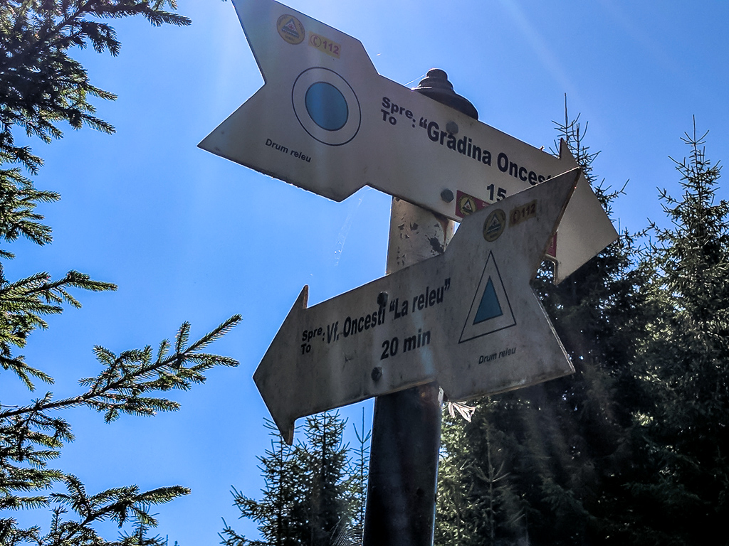
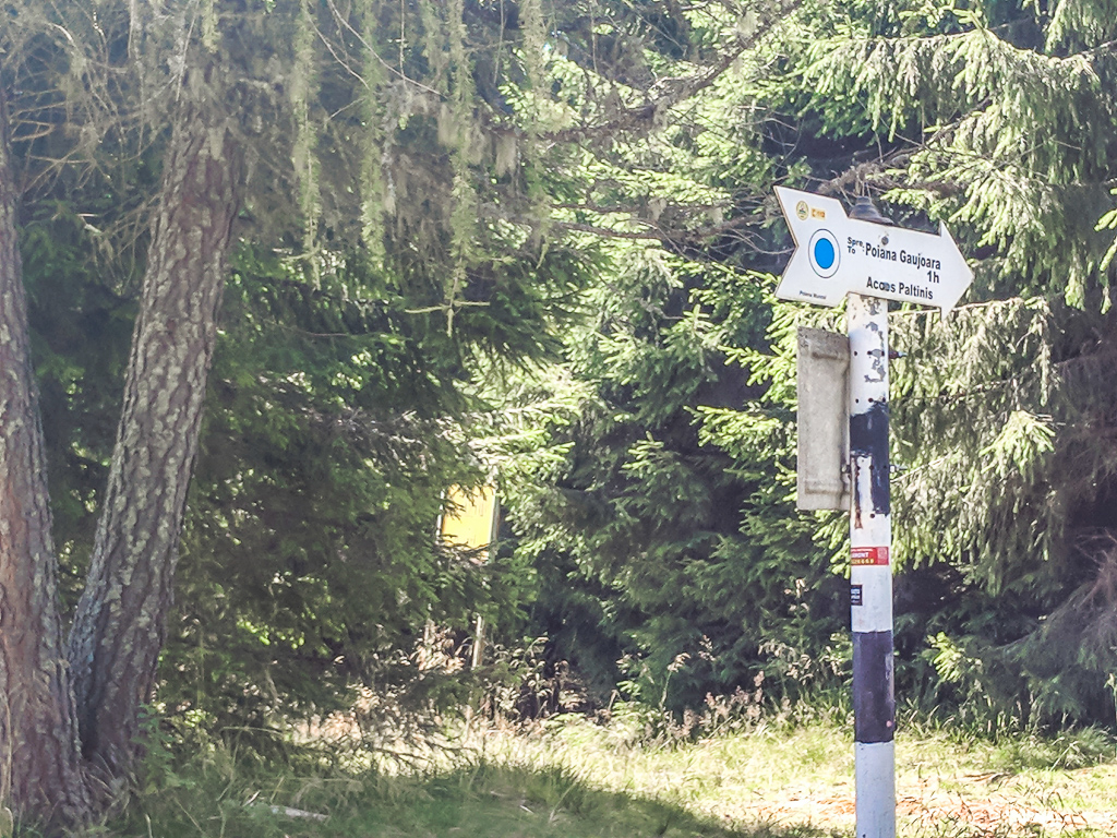
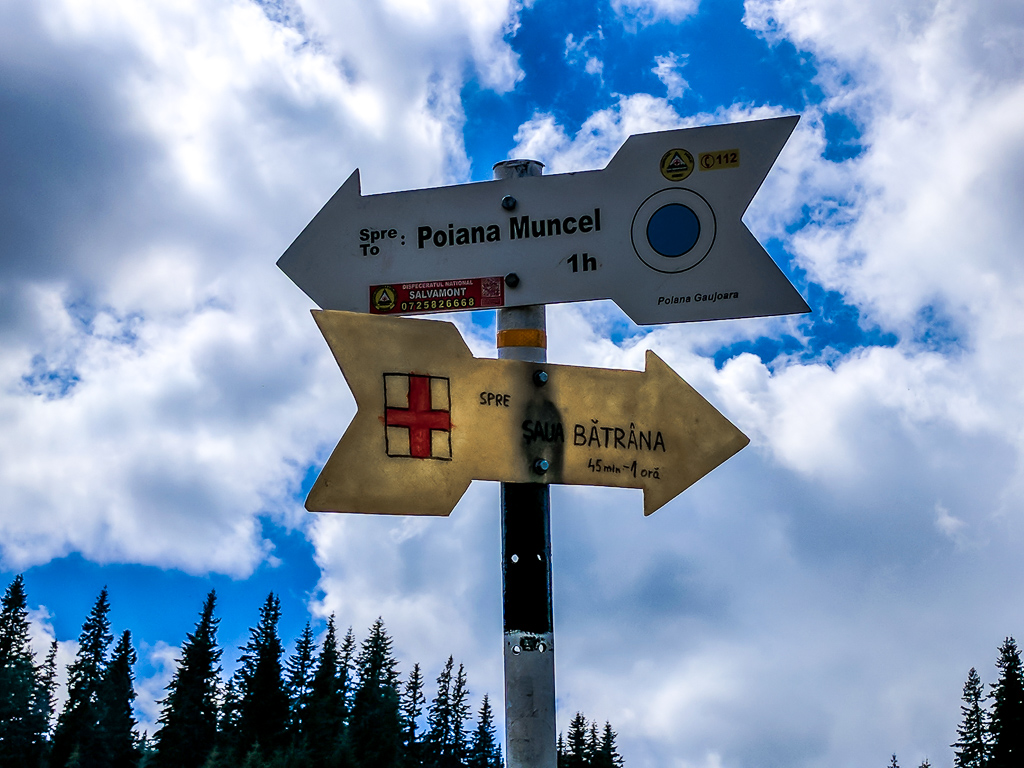
On this track, you pass several notable checkpoints and it’s important to be aware of them, as there are forks in the road and taking the wrong path might lead you onto a longer route. The route is circular.
My recommendation is to visit the large map by the cable car. There you’ll see the possible walking routes. I recommend taking a picture of the map and your route, to make sure you are able to follow it properly. The trail’s checkpoints
Păltiniş – Vf. Onceşti – Poiana Muncel – Stâna Găujoara – Izvorul Dorul Clujului – Păltiniş
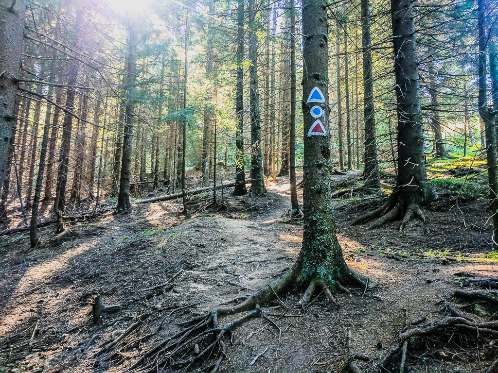
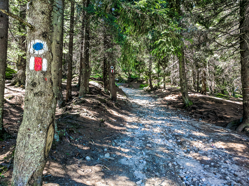
Every time you come across an intersection with signs, pay attention to the next checkpoint and walk in the direction of the arrow pointing to it. Additionally, pay attention to markings along the road – A blue triangle at first, then two red lines, a blue circle and lastly a red cross. Beginning of the hiking trail
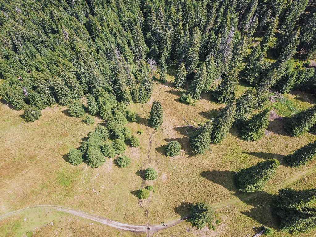
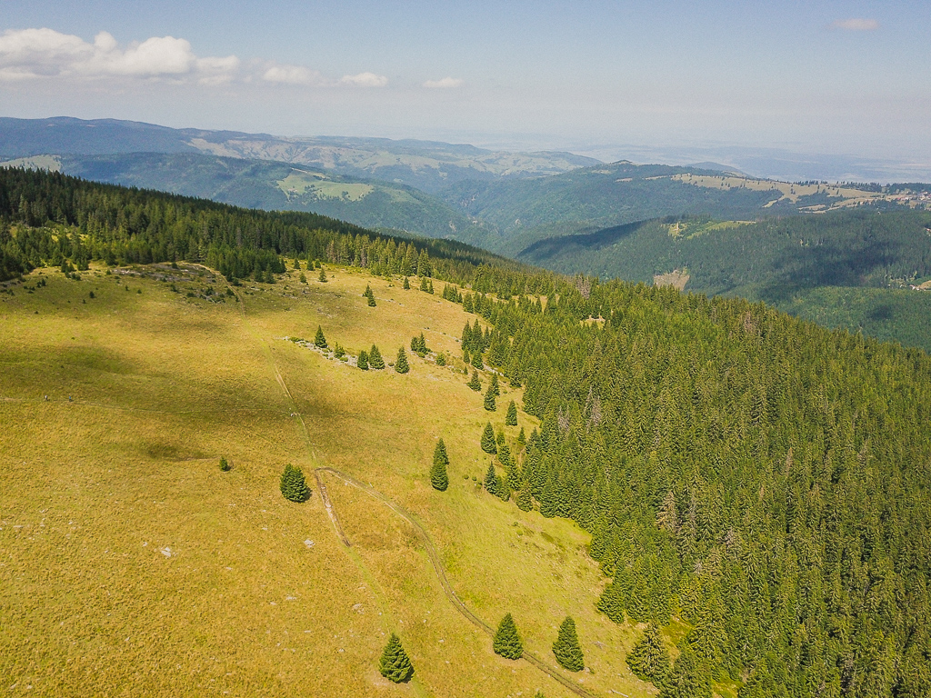
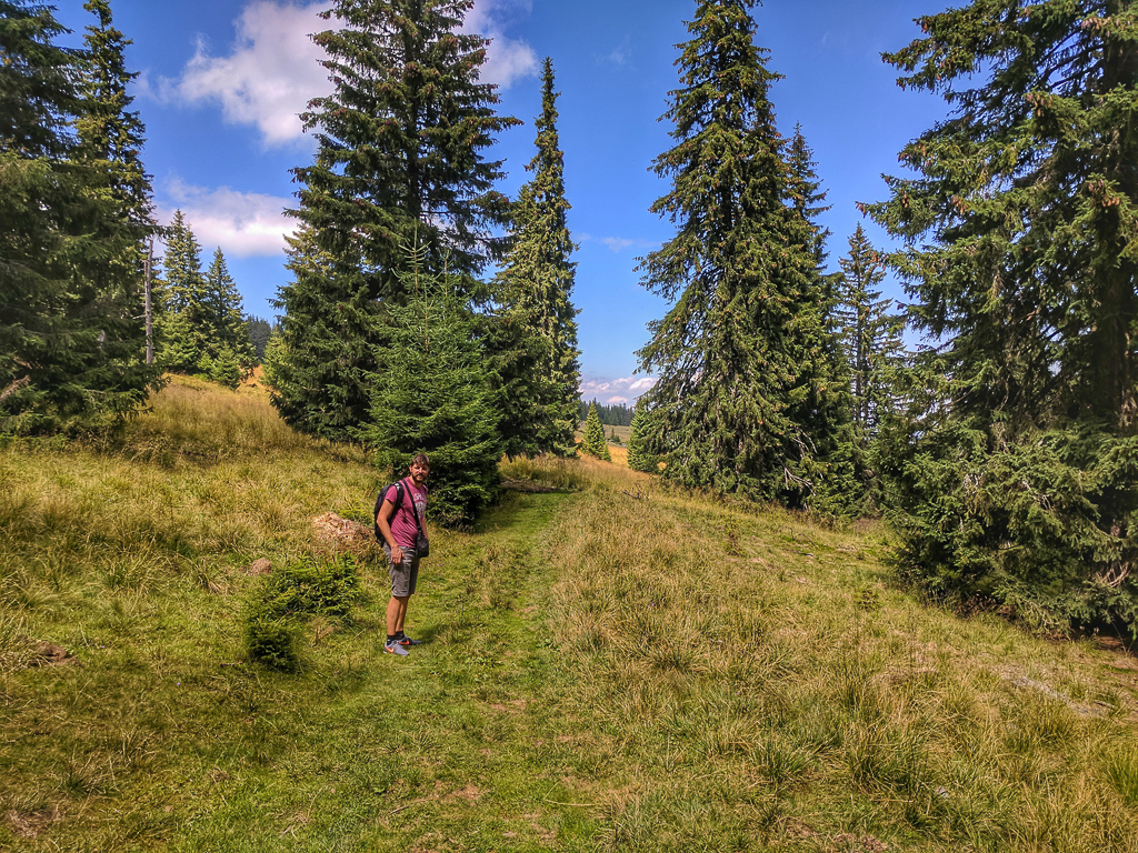
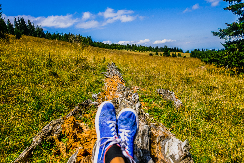
The walking route, in its first part, is a long climb up the mountain for about an hour, on an organized trail. You start at a height of 1450m and climb to a height of 1700m.
The ascent isn’t steep or especially difficult, but if you’re not into climbs – you may skip this park and simply take the cable car up the mountain.
The trail starts out near the cable car parking in the village (Map). From the parking area you need to keep walking straight until you see a blue triangle marking on the trees, there you start the climb.
Information about the hiking trail itself
The route is considered an easy one. The only part that is somewhat difficult is the climb in the beginning, but if you’re in decent shape you shouldn’t have too much issue with it. We’ve seen a family with children take the route as well.
The route is marked all along the way with markings on trees, as well as bright pink markings on stones along the way.
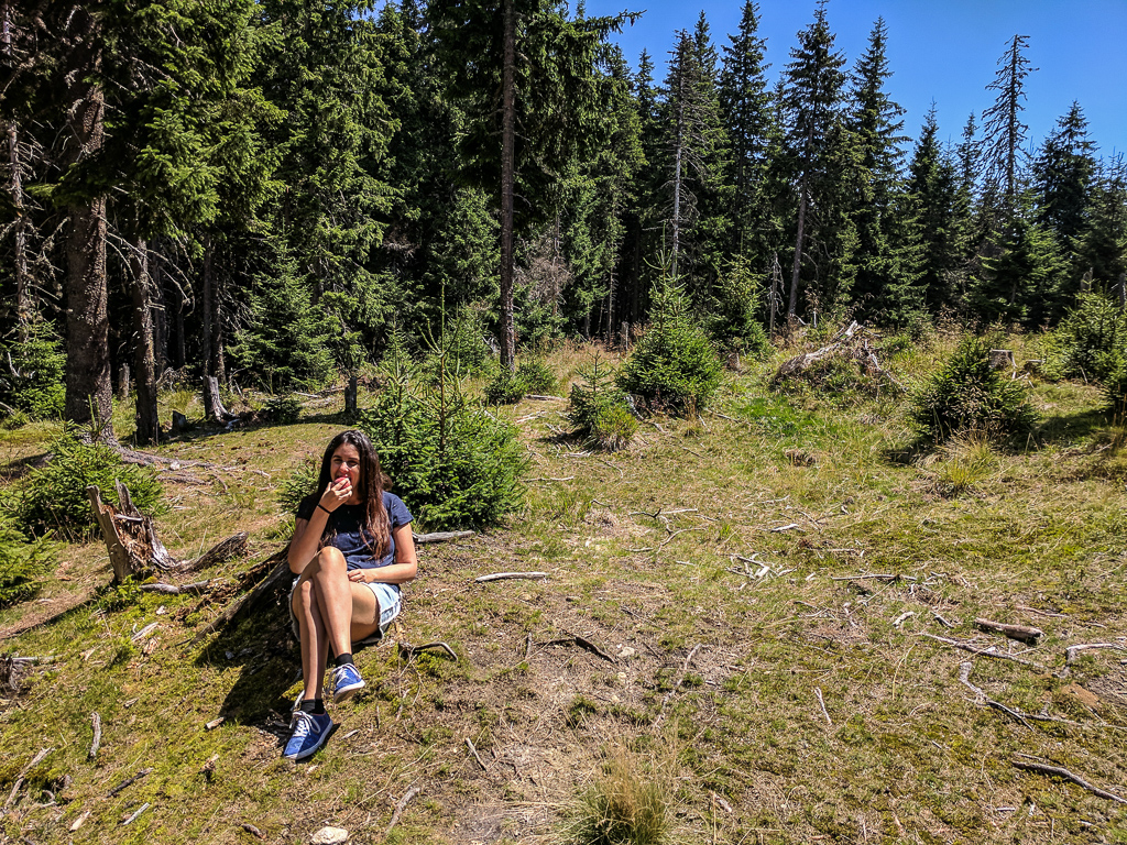
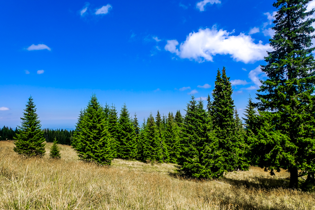
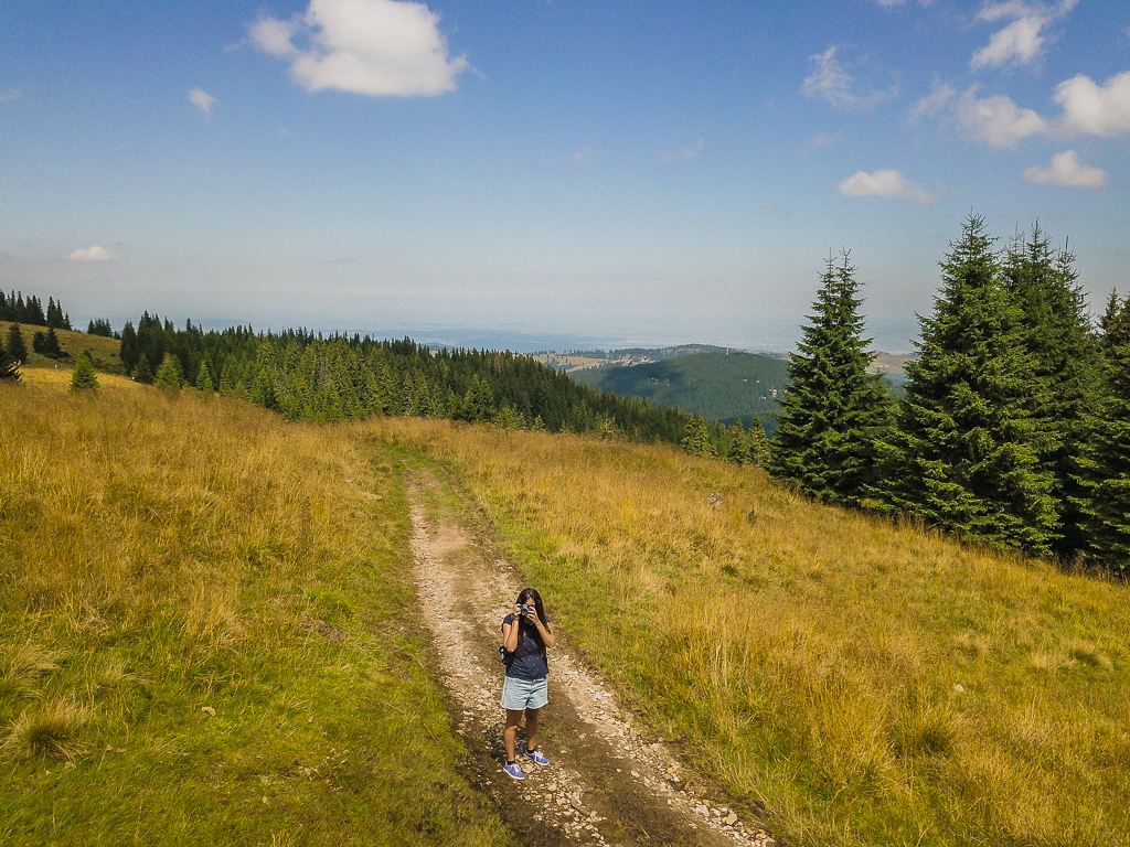
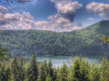
For the most part, the track is a walk through the woods, so you don’t get to see too much any impressive views, but there are some very pretty views in the beginning, and it is a light and fun trek.
When is it recommended to do the track?
My recommendation is to do the track during the summer. The advantage to this route is that most of the walking is done in the forest, and so is mostly in the shade – which was great, since we did it in the middle of August. Additionally, since the route is mountainous, the weather is very pleasant.
During the route there are several streams you need to cross by walking over rocks. During the summer, the current is slow and it wasn’t a problem to cross them, but if you’re traveling during the fall or spring, It’s important not to go on the track while it’s raining/after a rainy day, or the current might be much stronger – and you won’t be able to get around it.
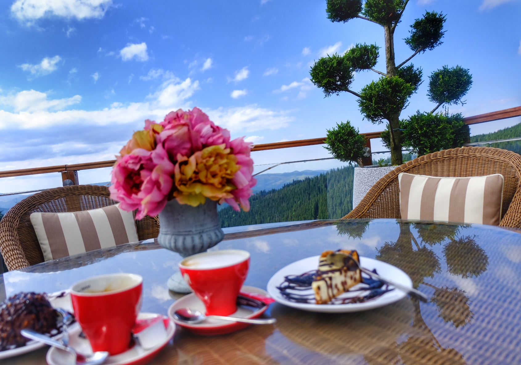
Restaurant with hypnotizing view after the trek
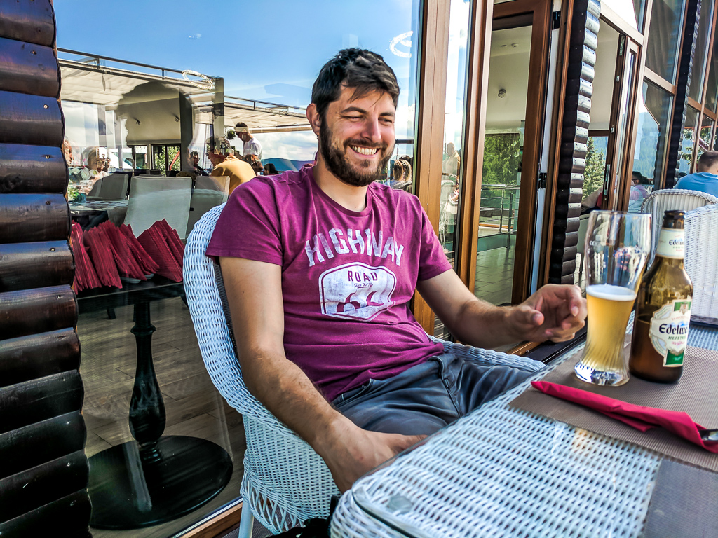
One of the fun things about this route is that after walking (About 5 hours with stops and filming), we sat down at Restaurant Bar Tiffany Paltinis (Map), right by the cable car. This is a very popular restaurant and the main reason is the balcony, which overlooks the green mountain view. At first we sat at a corner table, not great in terms of view, but of course I was looking over the tables in the better locations, and as soon as a couple left their table, I asked the waiter to move us there.
The menu at the restaurant is in Romanian only (They don’t have an English menu), which was a bit challenging and for a moment we considered just ordering a hamburger, since we couldn’t understand the menu.
But then we pulled out our phones and used Google Translate, which has the option of translating from pictures. So, I took a photo of a part of the menu every time and saw the translation, which helped a lot in making our order.
Roman ordered Ciorba soup for starters, and for mains – Puree with meat. I ordered sliced vegetables, and fish fillet with Risotto for my main course. We were worried of the food being of low quality, but it was actually really tasty (It might have been due to how hungry we were after 5 hours of walking).
We also ordered local beer, and for dessert a cheese cake with chocolate and a chocolate profiterole with coffee (We deserve it after that much walking, don’t we? :))
In summary, the restaurant is highly recommended for both a full meal and just coffee with cake. It was one of our wonderful moments on the trip to Romania.


More posts I wrote on that
 Salt lakes in Sibiu, Romania Ocna Sibiului – A healing experience for body and mind
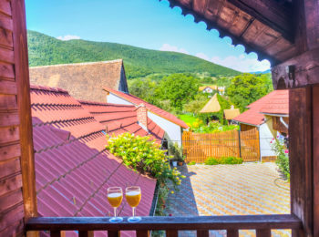 Magical apartment in a village by Sibiu, Romania – Pastoral, authentic and cheap experience
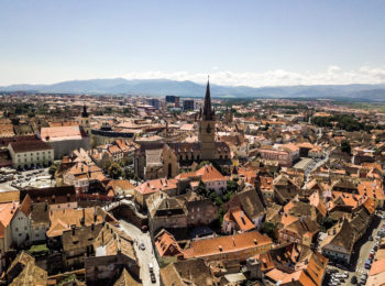 Things to do in Sibiu, Romania
 7-day itinerary in Romania – Route full of nature and views on a low budget during August
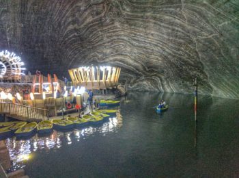 Why you should NOT visit Salina Turda Salt Mine, Romania
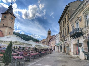 Cool things to do in Brasov
 Our amazing itinerary of 10 days in Romania